
For Apple silicon Macs
Voxel Earth
Engine
Fly around the world.
Explore real terrain, cities, and
landmarks.
Dolomites, Italy 46.500° N / 11.850° E
FlightsExplore Earth
Fly from orbit
to the ground.
Search for a place or enter coordinates. Fly freely, pilot the Kestrel, or ride the Sparrow hoverbike.
Cordillera Huayhuash · Peru
Orbit to the Andes
Video couldn’t load. Open the flight directly ↗
Photo mode
Take photos
in 4K.
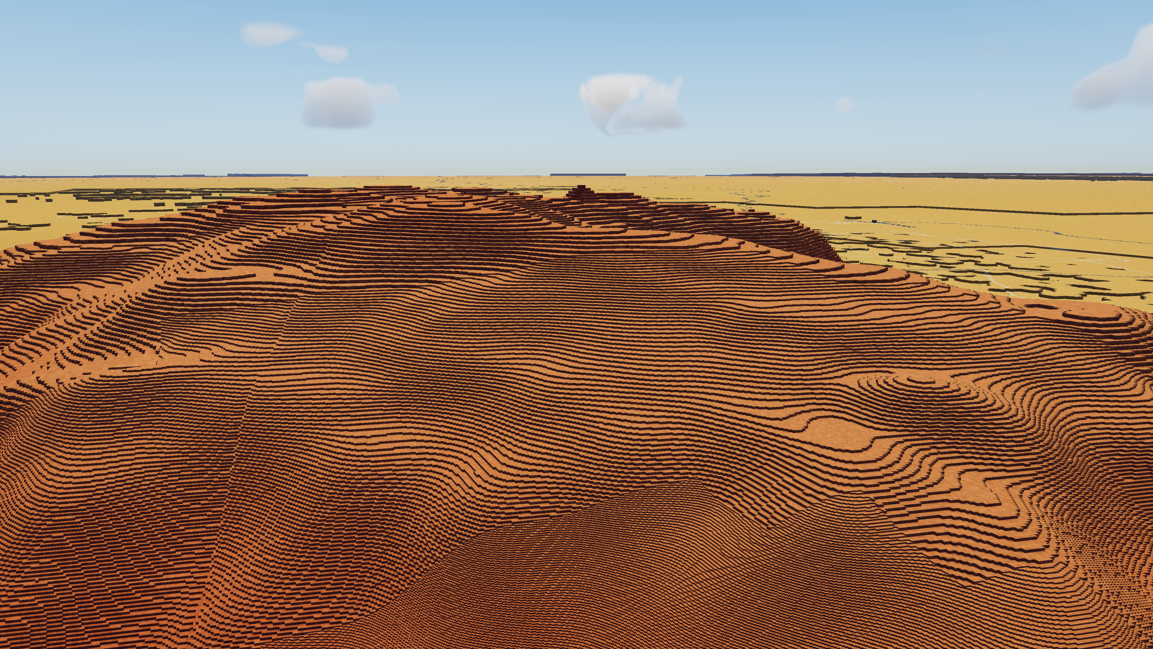
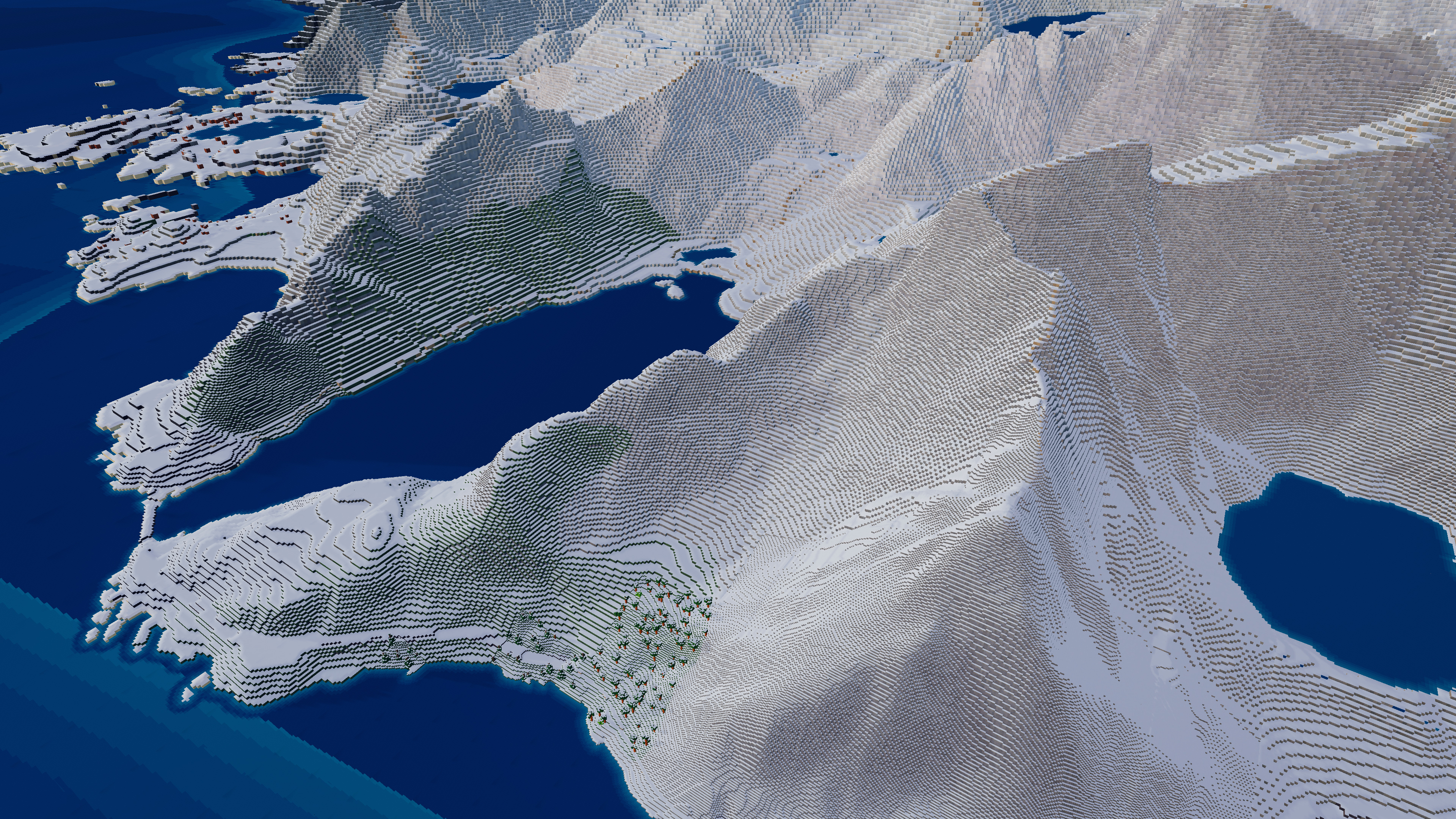
Choose a location. Set the time of day, season, and weather. Save a screenshot without the interface.
View all screenshots ↗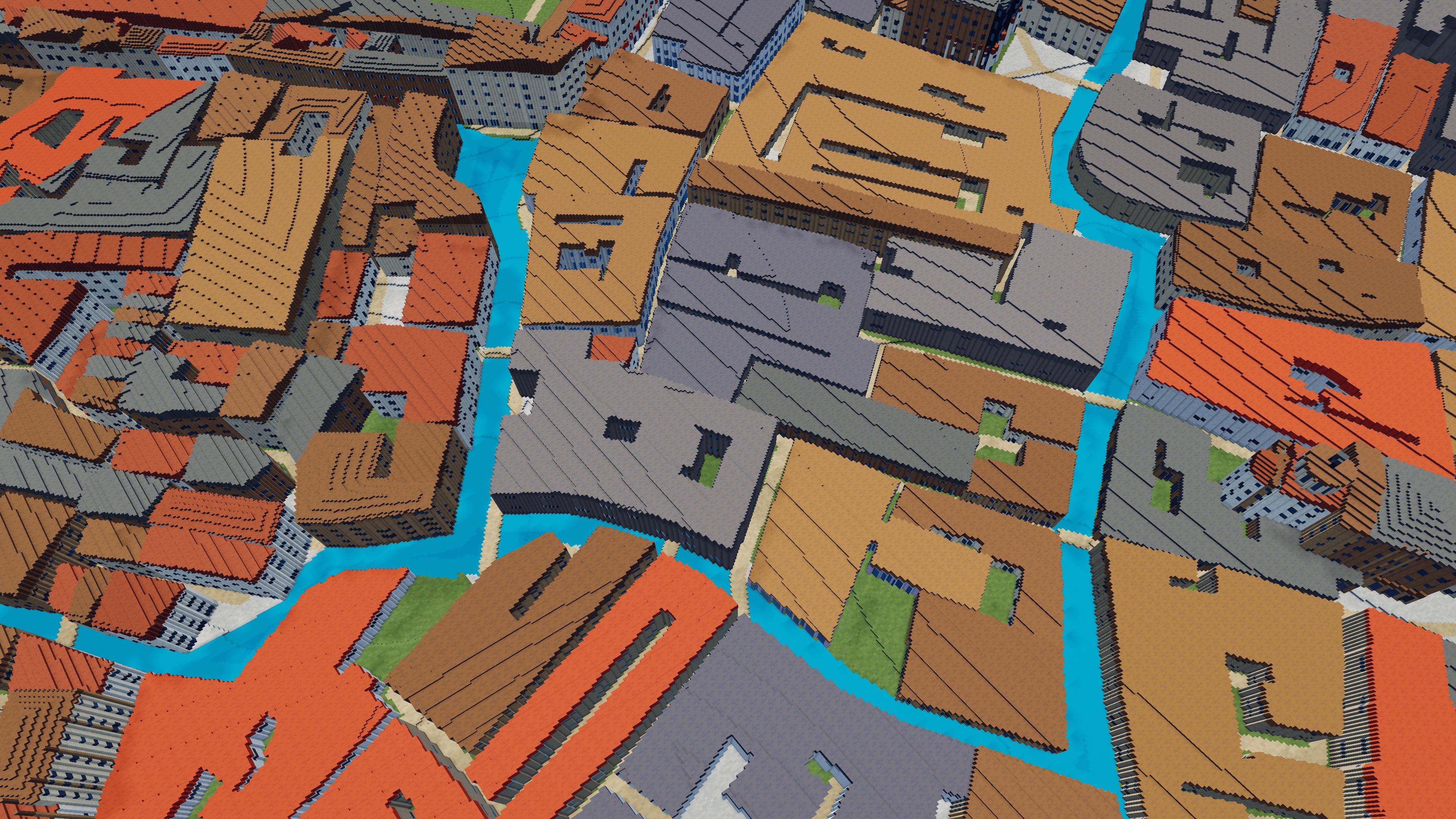
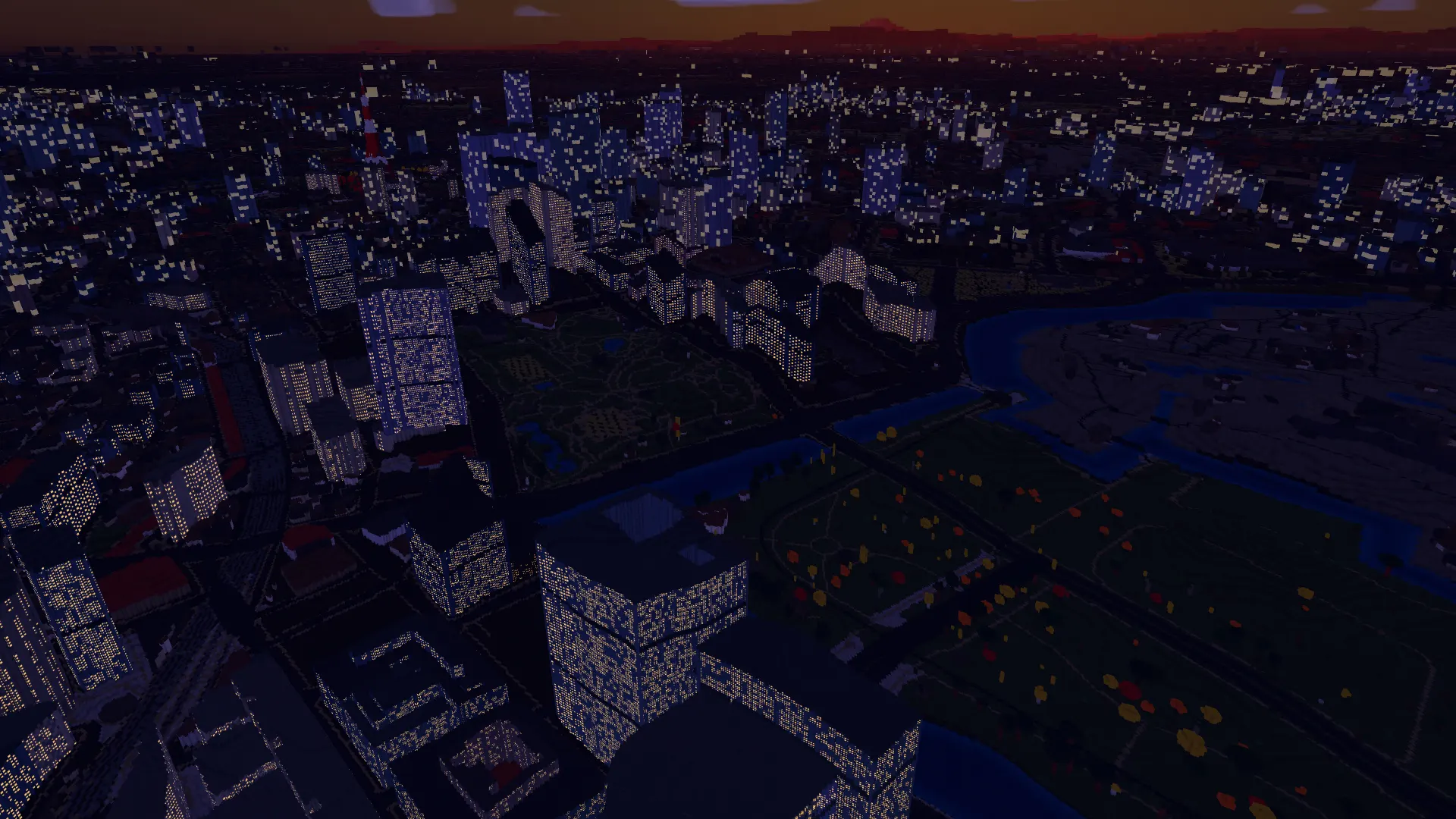
Day and night
Change the
time of day.
The sun and stars follow the date, time, and location. Set the clock to see the terrain and cities at night.
Engine guide
Explore the engine.
Learn the controls.
Explore real terrain, take the controls, and shape the light. These are the essentials for your first session in the Mac app.
01 / NavigationExplore from orbit to street level
The globe adds detail as you approach. Drag to pan, scroll to zoom, and use the search control for a place or latitude/longitude. The current-location button asks permission before moving to your position.
- W A S D / arrow keys
- Pan the camera
- + / −
- Zoom in / out
- ⌘ + drag
- Tilt and rotate
- Q / E
- Rotate left / right
- R / F
- Tilt up / down
- /
- Focus search
- Enter
- Open / close the map
02 / VehiclesFly, hover, or skim the water
Press P to enter or leave play mode. Fly the Kestrel, travel with the Phase Manta, ride the Sparrow hoverbike, or take the Riptide across water. Choose a default vehicle in Settings → Controls and flight.
- W A S D / arrow keys
- Move / steer
- Shift
- Hold to boost
- Space / C
- Rise / descend in aircraft; Space jumps or hops in surface vehicles
- V
- Cycle available vehicles
- 1 / 2 / 3 / 4
- Kestrel / Phase Manta / Sparrow / Riptide
Vehicle availability can change during a treasure hunt.
03 / Light & weatherChoose the atmosphere
The sun and stars follow your location, date, and time. Use the solar controls to set the date or change the clock speed. Weather is simulated; it is not a live forecast.
- T
- Switch between astronomical day/night and fixed cinematic light
- [ / ]
- Move the astronomical clock back / forward one hour
Open Settings → Visuals and weather to adjust clouds, precipitation, wind influence, shadows, night lights, and color grading. Lower weather quality or shadow quality for a lighter rendering workload.
04 / DiscoveryNavigate with the map
Press Enter to open the map and orient yourself. Search for a destination, fly there, or start a treasure hunt from a search result. A hunt gives your journey an objective; the map lets you check your position along the way.
Navigation keys control the view when you are exploring. While a search field, map, or controls overlay is active, those keys belong to that interface.
05 / PhotographySave the view in 4K
Frame your scene and choose Settings → Photo export → Save photo. The app prepares the scene, then saves a 4K PNG and a JSON scene recipe in Pictures/Voxel Earth Engine.
The recipe records the camera, geographic position, and simulated time. Export stays on your Mac. If you share the files, remember that the recipe reveals the location shown.
See photos from the engine ↗06 / Settings & dataMake the app work for you
Open Settings with ⌘ + ,. Set your pan speed, default vehicle, visible interface controls, and visual quality. Preferences save automatically.
Bundled terrain, imagery, and place search work offline. Enabled online sources add map features and regional detail. Settings → Data sources controls those providers; Settings → Storage schedules downloaded data for clearing on the next launch.
Read about requests and local storage ↗Mac release
For macOS.
Apple silicon only.
Voxel Earth Engine is in development. It will be distributed through the Mac App Store.
macOS application
- Platform
- macOS · Apple silicon
- Distribution
- Mac App Store
- Availability
- In development
The release date has not been announced.
Questions
Which Macs will it run on?
Macs with Apple silicon. Intel Macs, Windows, and Linux are not supported. Final system requirements will be listed on the Mac App Store.
Can I download it yet?
No. The Mac App Store release is in development. There is no public download or announced release date.
Does it use real-world data?
Yes. The app uses elevation data, surface imagery, and map features to generate voxel terrain, roads, and buildings. Global terrain is bundled with the app. Online sources provide finer detail where available.